| IN A NUTSHELL |
|
In an era where Global Positioning System (GPS) technology is indispensable, a groundbreaking innovation from the University of Surrey aims to redefine navigation. Researchers have developed a system called Pose-Enhanced Geo-Localisation (PEnG) that combines satellite and street-level images to accurately determine a device’s location, even in areas where GPS signals are weak or unreliable. This revolutionary approach narrows down localisation errors from 2,400 feet to just 72 feet, offering a promising alternative to traditional GPS navigation. The implications of this technology could extend far beyond personal navigation, impacting industries reliant on precise location data.
The Mechanics of Pose-Enhanced Geo-Localisation
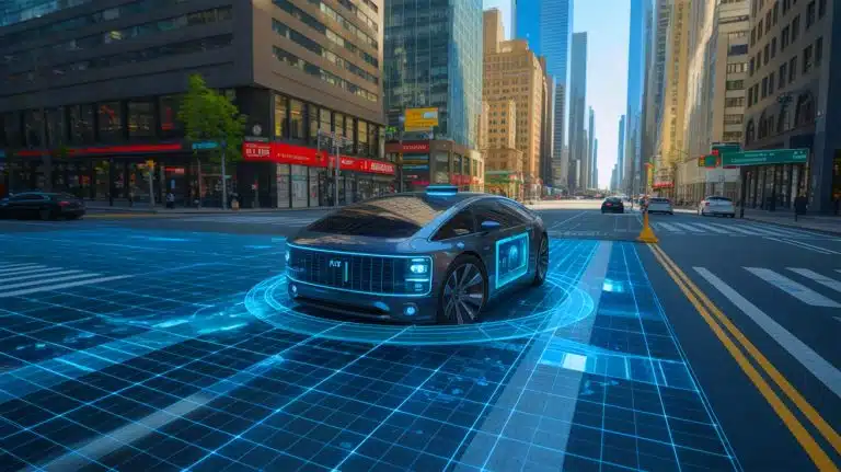
PEnG operates through a two-step process, enhancing its accuracy and reliability. By first utilizing street-level imagery, the system pinpoints the device’s approximate location. Then, it refines this estimate by calculating the camera’s orientation through relative pose estimation. This innovative method allows PEnG to function effectively even with a simple monocular camera, which is commonly found in vehicles. By bypassing the need for GPS signals, PEnG addresses the limitations that traditional GPS faces in urban environments where signal interference is common.
Dr. Simon Hadfield, an associate professor involved in the project, emphasizes the system’s adaptability. The technology is designed to operate independently of GPS, making it suitable for fast-paced and unpredictable scenarios. This versatility is crucial for the next generation of autonomous vehicles and robotics, which require reliable navigation systems that can operate under challenging conditions.
Implications for Autonomous Vehicles
The potential applications of PEnG extend to various sectors, but its impact on autonomous vehicles is particularly noteworthy. As the automotive industry moves towards self-driving technology, the need for reliable navigation systems becomes paramount. PEnG’s ability to function without GPS makes it an ideal candidate for autonomous vehicles that must navigate complex environments.
According to Tav Shore, a postgraduate research student in AI and computer vision, PEnG could unlock new possibilities for smart navigation tools. By leveraging visual information, the system achieves a level of accuracy previously thought unattainable without GPS. This capability could enhance the safety and efficiency of autonomous vehicles, reducing reliance on unreliable GPS signals.
Addressing GPS Vulnerabilities
While GPS has become a staple in modern navigation, its vulnerabilities are well-documented. Signal disruptions can occur due to tall buildings, tunnels, or adverse atmospheric conditions. These interruptions pose significant risks for industries reliant on precise location data, such as logistics, aviation, and defense. PEnG offers a GPS-free alternative that could mitigate these risks, providing a more resilient navigation solution.
Professor Adrian Hilton, director of the Surrey Institute for People-Centred AI, highlights the system’s potential to enhance everyday convenience and safety. By accurately pinpointing locations without GPS, PEnG lays the groundwork for smarter, more autonomous systems capable of operating in remote or challenging environments.
Future Developments and Open Source Collaboration
Supported by the University of Surrey’s PhD Foundership Award, the research team is focused on developing a working prototype of PEnG for real-world testing. To accelerate progress, they have made their findings open source, inviting developers and engineers worldwide to contribute to the project. This collaborative approach aims to refine and expand the system’s capabilities, potentially leading to widespread adoption in various industries.
The research has been published in IEEE Robotics and Automation Letters, providing a comprehensive overview of PEnG’s development and potential applications. As the team continues to refine the technology, its impact on navigation and autonomous systems will be closely watched by industry leaders and researchers alike.
As the Pose-Enhanced Geo-Localisation system advances, it raises intriguing questions about the future of navigation technology. Will PEnG and similar innovations become the standard for autonomous vehicles, effectively replacing traditional GPS? Only time will tell how this promising technology will shape the landscape of modern navigation.
Did you like it? 4.5/5 (30)


Wow, Paris in four hours? That’s faster than my morning commute! 🚀
Wow, traveling to Paris in just four hours sounds like a dream come true! ✈️
How environmentally friendly is this supersonic jet compared to traditional aircraft?
How do they manage to make it quiet? Aren’t all supersonic jets loud by nature?
Is this jet going to be as loud as the Concorde was?
Finally, a way to make weekend trips to Europe a reality! Thank you, Spike Aerospace!
Thank you for the insightful article! Can’t wait to see these jets in action. ✈️
This sounds amazing, but I bet the tickets will cost a fortune. 💸
How does Spike Aerospace plan to address the sonic booms?
Is the aviation industry really scrambling to catch up, or is this just hype? 🤔
I’ll believe it when I see it. Supersonic jets have been promised for years.
Great innovation! What’s the expected launch date for commercial flights?
Will ticket prices be affordable or are we looking at another Concorde scenario?
Four hours to Paris? Can it stop for a croissant on the way? 🥐